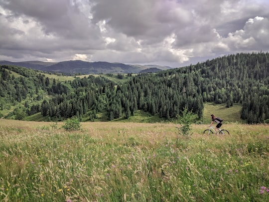
Travel Guide of Muntele Bocului in Romania by Influencers and Travelers
Băișoara is a commune in Cluj County, Transylvania, Romania. It is composed of nine villages: Băișoara, Frăsinet, Moara de Pădure, Muntele Băișorii, Muntele Bocului, Muntele Cacovei, Muntele Filii, Muntele Săcelului and Săcel.
The Best Things to Do and Visit in Muntele Bocului
TRAVELERS TOP 10 :
- Cheile Turzii
- Lake Tarnița
- Hoia Forest
- DJ107M
- Cetatea Trascăului
- Salina Turda
- Piața Unirii
- Cluj County
- Apuseni Mountains
- Piatra Secuiului
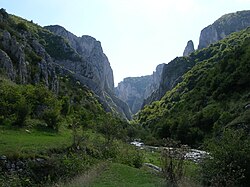
1 - Cheile Turzii
17 km away
Turda Gorge is a natural reserve situated 6 km west of Turda and about 15 km south-east of Cluj-Napoca, in Transylvania, Romania.
Learn more Book this experience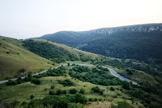
2 - Lake Tarnița
22 km away
Lake Tarnița is a reservoir located in Cluj County, Romania, between the communes of Râșca, Mărișel and Gilău, west of Cluj-Napoca. Covering some 215 ha, with a length of close to 9 km and a maximum depth of over 70 m, it is a popular tourist destination. Water from the Someșul Cald River flows into the reservoir. A 97 m high dam was completed in 1974.
View on Google Maps Book this experience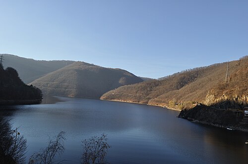
3 - Hoia Forest
22 km away
The Hoia Forest is a forest situated to the west of the city of Cluj-Napoca, near the open-air section of the Ethnographic Museum of Transylvania. The forest is used as a common recreation destination.
Learn more Book this experience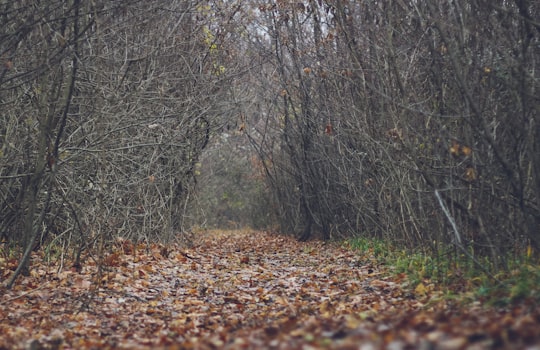
4 - DJ107M
23 km away
Learn more

5 - Cetatea Trascăului
23 km away
Learn more
6 - Salina Turda
24 km away
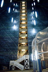
Salina Turda is a salt mine in the Durgău-Valea Sărată area of Turda, the second largest city in Cluj County, northwest Romania. Opened for tourists in 1992, the Salina Turda mine was visited by about 618,000 Romanian and foreign tourists in 2017. Salina Turda was ranked in 2013 by Business Insider as among the "25 hidden gems around the world that are worth the trek".
Learn more Book this experience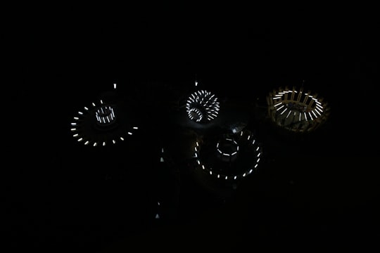
7 - Piața Unirii
24 km away
Piața Unirii is the largest and most important squares in the Romanian city of Cluj-Napoca. The square is one of the largest in Romania, with dimensions of 220 m by 160 m. The central district of the city spreads out from this square. The St.
View on Google Maps Book this experience
8 - Cluj County
26 km away
Cluj County is a county of Romania, in Transylvania. Its capital city is Cluj-Napoca.
Learn more
9 - Apuseni Mountains
26 km away
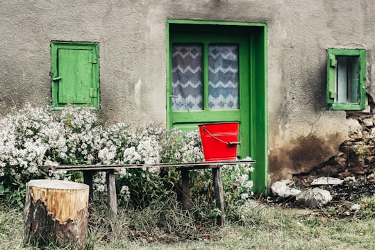
The Apuseni Mountains is a mountain range in Transylvania, Romania, which belongs to the Western Romanian Carpathians, also called Occidentali in Romanian. Their name translates from Romanian as Mountains "of the sunset" i.e. "western". The highest peak is the Bihor Peak at 1849 metres. The Apuseni Mountains has about 400 caves.
Learn more Book this experience
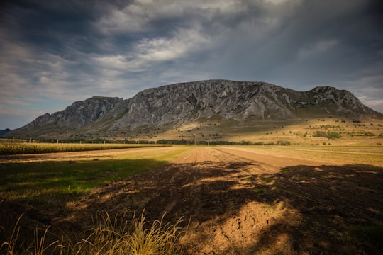
10 - Piatra Secuiului
27 km away
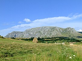
The Trascău Mountains are located in the Apuseni mountain range of the Western Romanian Carpathians, in Romania. The Trascău Mountains are crossed by picturesque Arieş River valley. The highest elevation in the massif is Dâmbău Peak, at 1,369 m.
Learn more Book this experience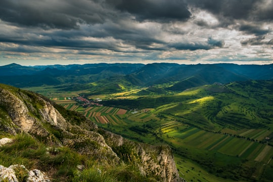
Disover the best Instagram Spots around Muntele Bocului here
Book Tours and Activities in Muntele Bocului
Discover the best tours and activities around Muntele Bocului, Romania and book your travel experience today with our booking partners
Pictures and Stories of Muntele Bocului from Influencers
Picture from Lucian Dachman who have traveled to Muntele Bocului
Plan your trip in Muntele Bocului with AI 🤖 🗺
Roadtrips.ai is a AI powered trip planner that you can use to generate a customized trip itinerary for any destination in Romania in just one clickJust write your activities preferences, budget and number of days travelling and our artificial intelligence will do the rest for you
👉 Use the AI Trip Planner
Why should you visit Muntele Bocului ?
Travel to Muntele Bocului if you like:
⛰️ MountainWhere to Stay in Muntele Bocului
Discover the best hotels around Muntele Bocului, Romania and book your stay today with our booking partner booking.com
More Travel spots to explore around Muntele Bocului
Click on the pictures to learn more about the places and to get directions
Discover more travel spots to explore around Muntele Bocului
⛰️ Mountain spotsTravel map of Muntele Bocului
Explore popular touristic places around Muntele Bocului
